There’s an inescapable sense of whistfullness that comes with looking at maps. For the better part of six months, I’ve known my survey points only from the sky, and 100-year-old writings of what they once looked like.
Daydreaming had to be put on hold in favor of practicality. Was I putting the points in the right places, where the old surveyors really had been? Was that an odd shadow in the image, or a locked gate on the road I wanted to access? While the prospective points slowly filled my map, stacks of camping gear and food filled my apartment. Preparations could go on forever. But inevitably, the start to the field season arrives.
Then the whimsy takes over.
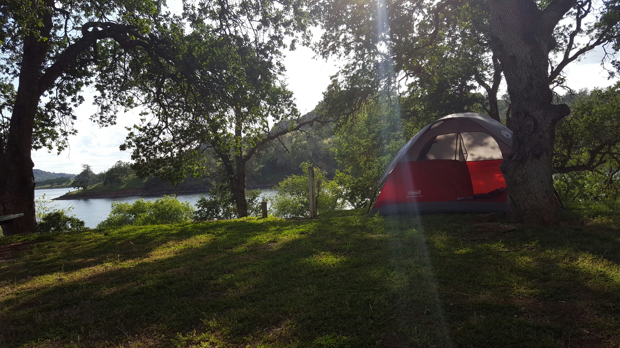
The drive from Berkeley to the first camp site is two hours. Two hours to wonder what all those points look like on the ground.
Last summer, my fifteen survey sites spanned what seemed like every corner of the Central Valley. I had little idea what to expect. Everywhere, I found birds. Sometimes, the same birds my predecessors recorded in their field notes a century ago. Sometimes, things they could never have imagined.
This year, 31 sites are on the map. Some will bring me to familiar places: the Kern River in Bakersfield, the lower banks of San Emigdio Creek. But more often than not, this summer will bring me to brand new shaded riverbanks, dusty alkali flats , and derelict country towns.
I can already hear the kingbirds laughing near camp.
